|
|
|
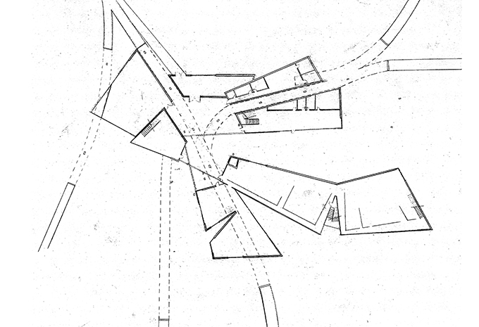
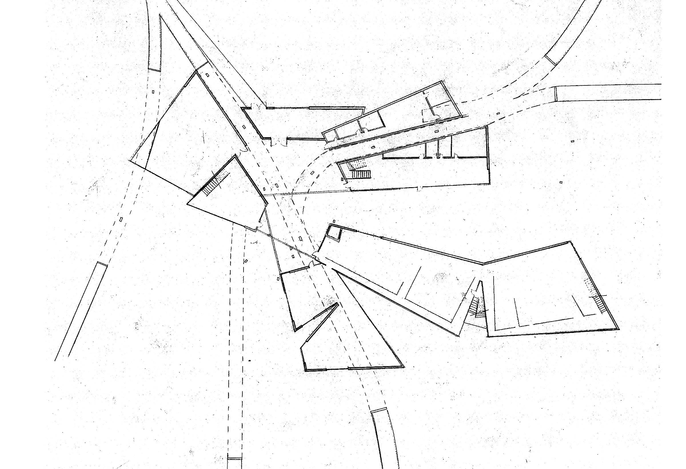
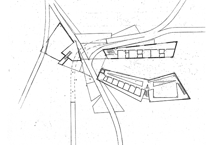
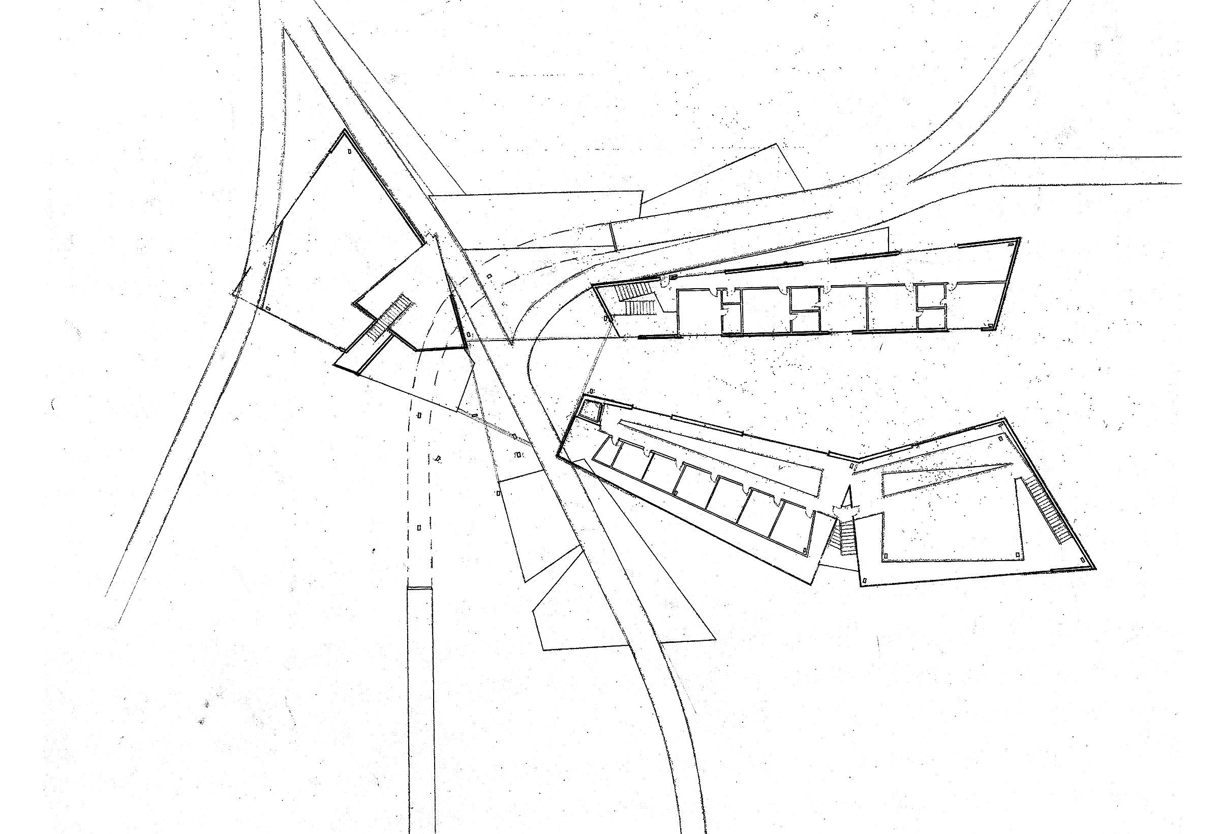
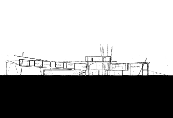
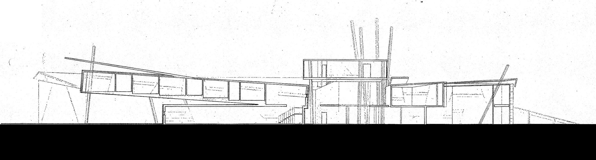
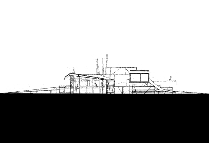
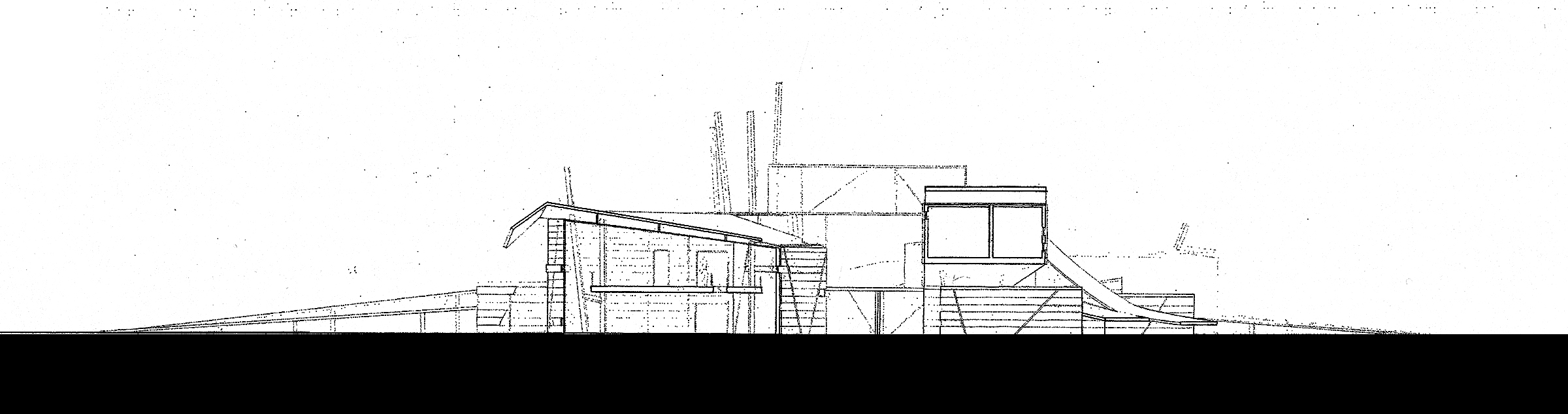
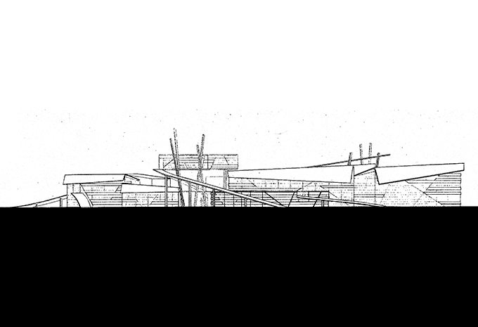
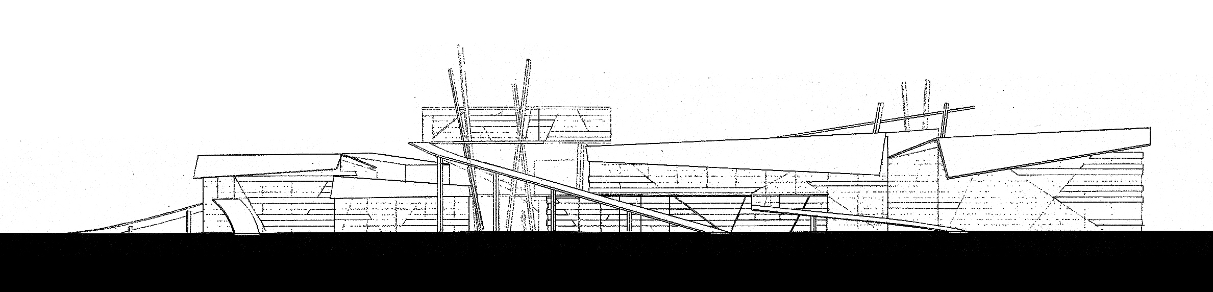
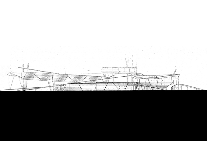
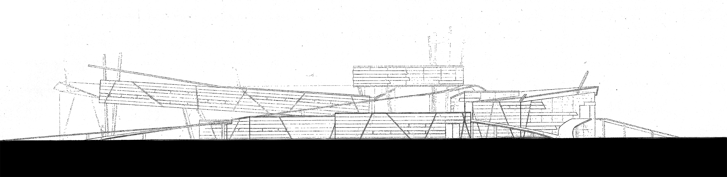
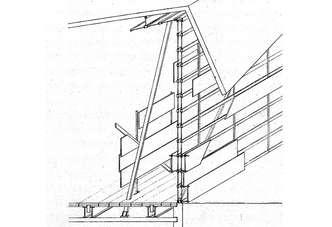
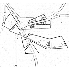
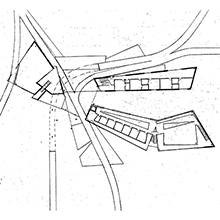
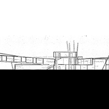
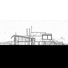
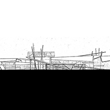
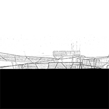
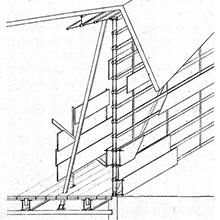
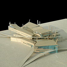
Weathered | Meteorological Center, Sullivan Island, SC
|
|
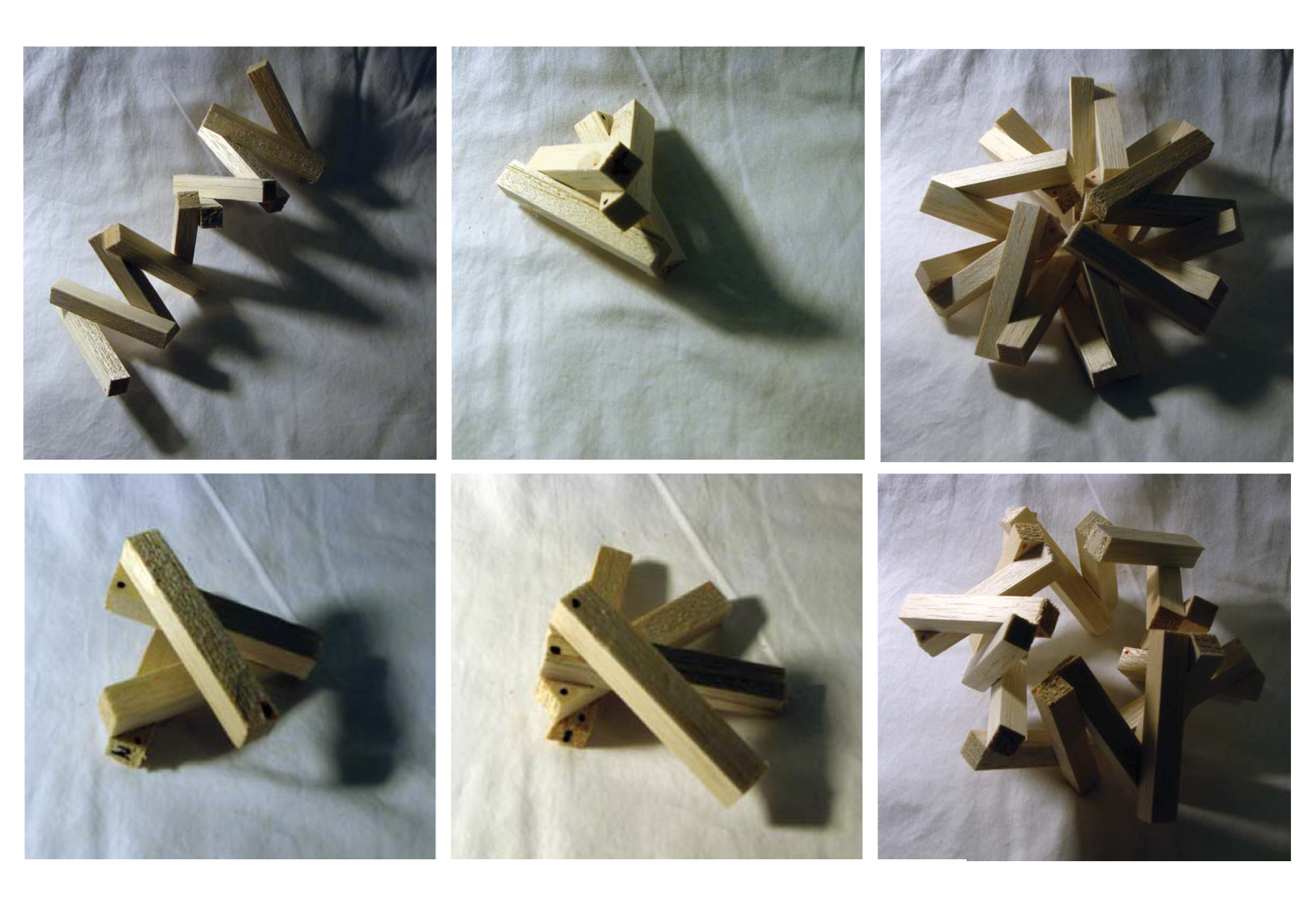
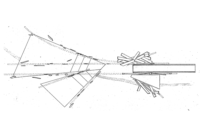
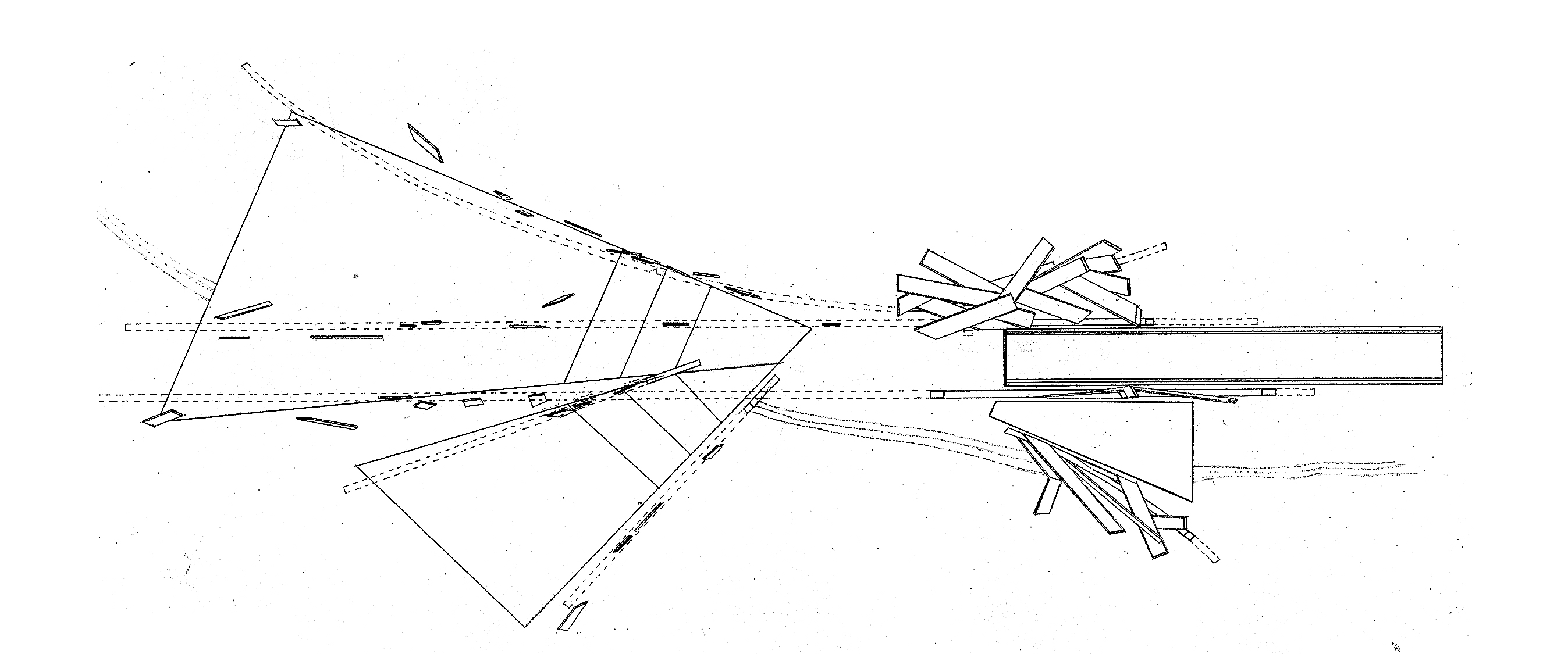
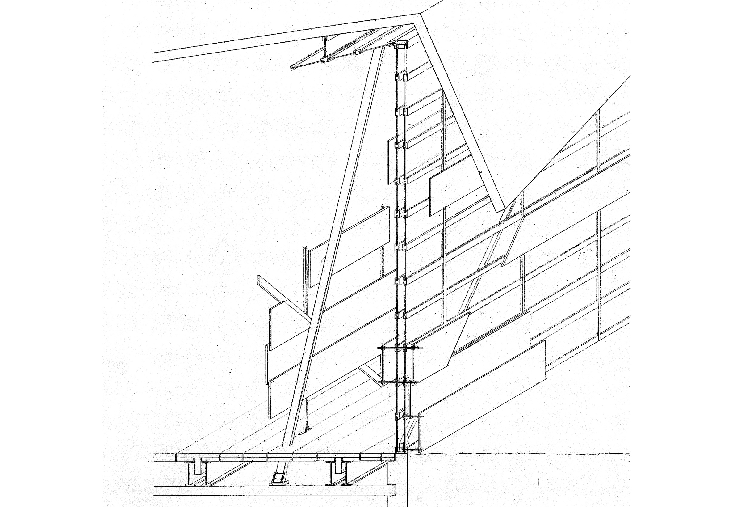
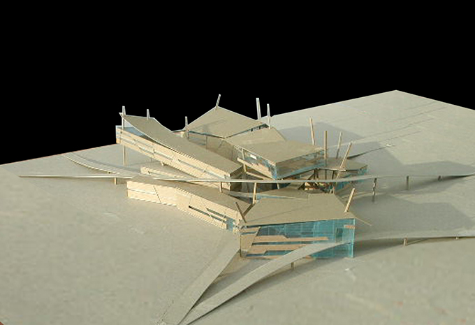
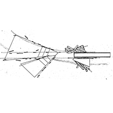
The design proposal of the regional and meteorological center and field center on Sullivan Island, South Carolina, takes on the theme of time and weathering to suggest an architecture that begins from order and gradually gives in to fragility. The spatial relations between building components are compressed and shoved one against the other to further imprint the given site's proximity to the Atlantic Coast, and by extension its susceptibility to inclement weather during the summer hurricane season. The overall scheme is completed by generous ramps / dunes that tie the project to the site and allow the pedestrians and visitors to explore the project from a variety of angles.
|
|
|
|