|
|
|
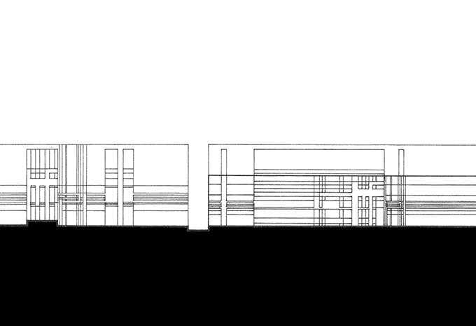
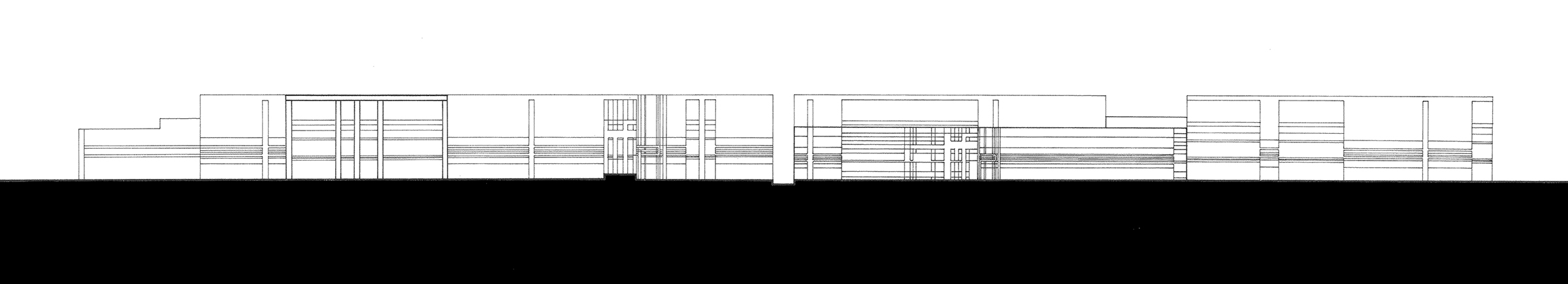
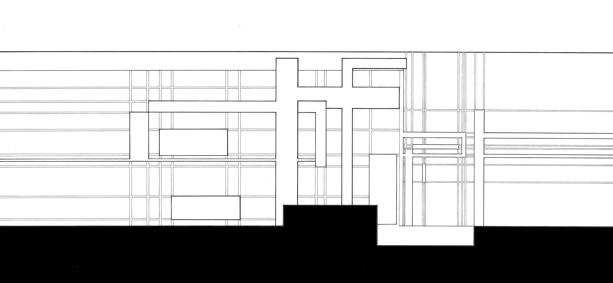
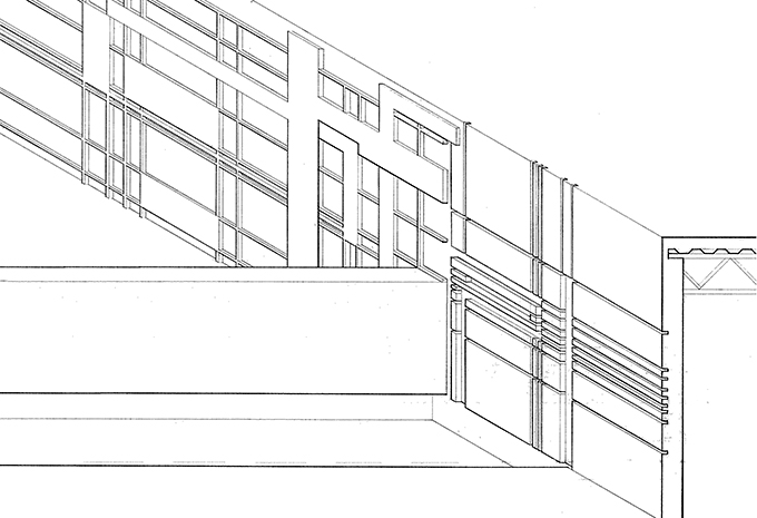
Scarpa-esque | Meteorological Center, Sullivan Island, SC
|
|
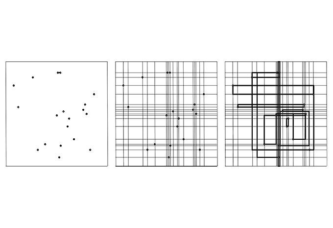
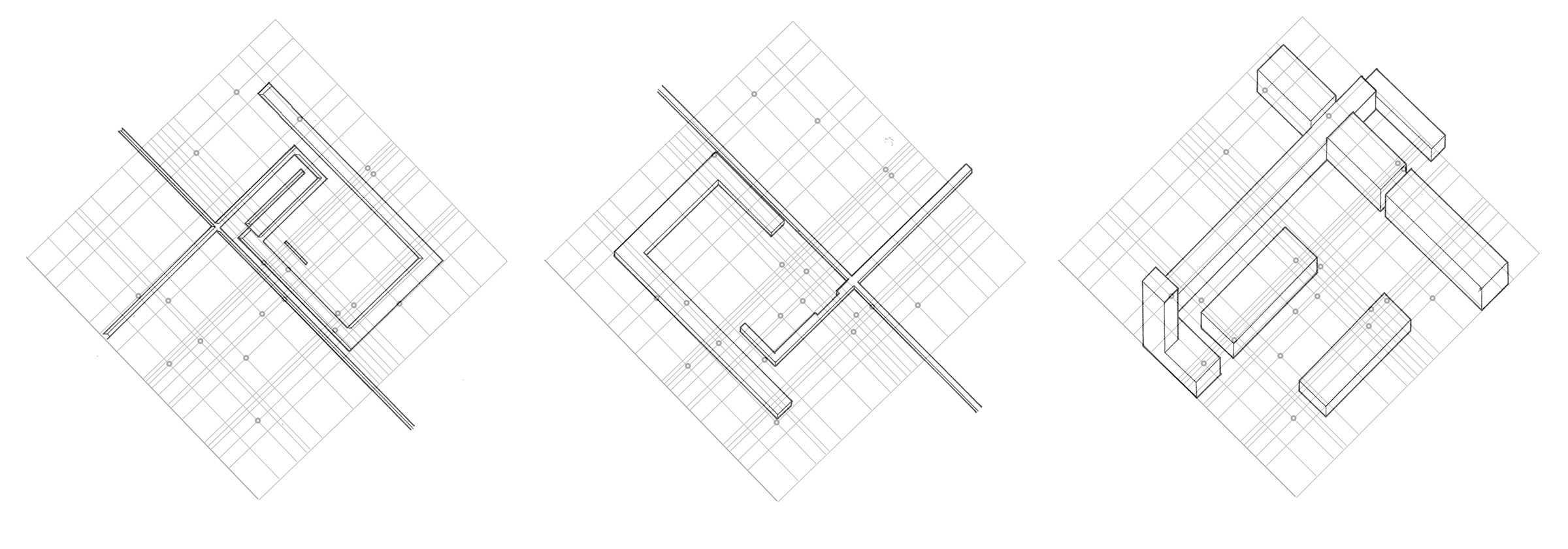
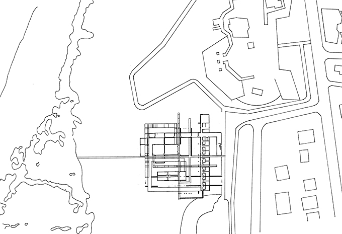
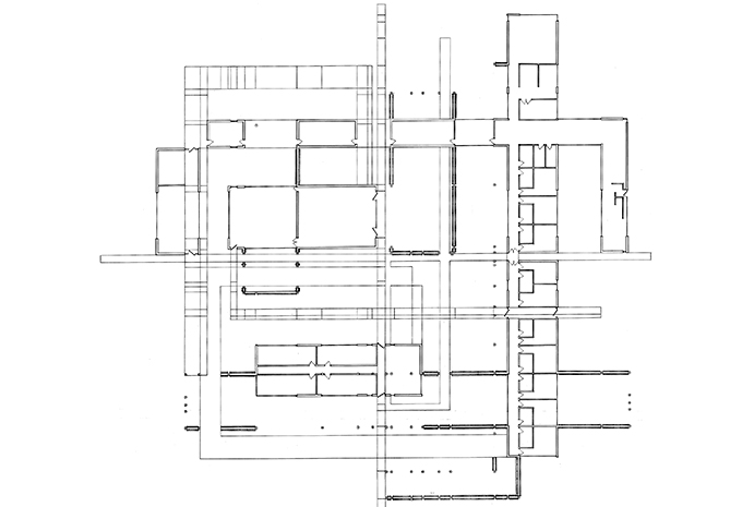
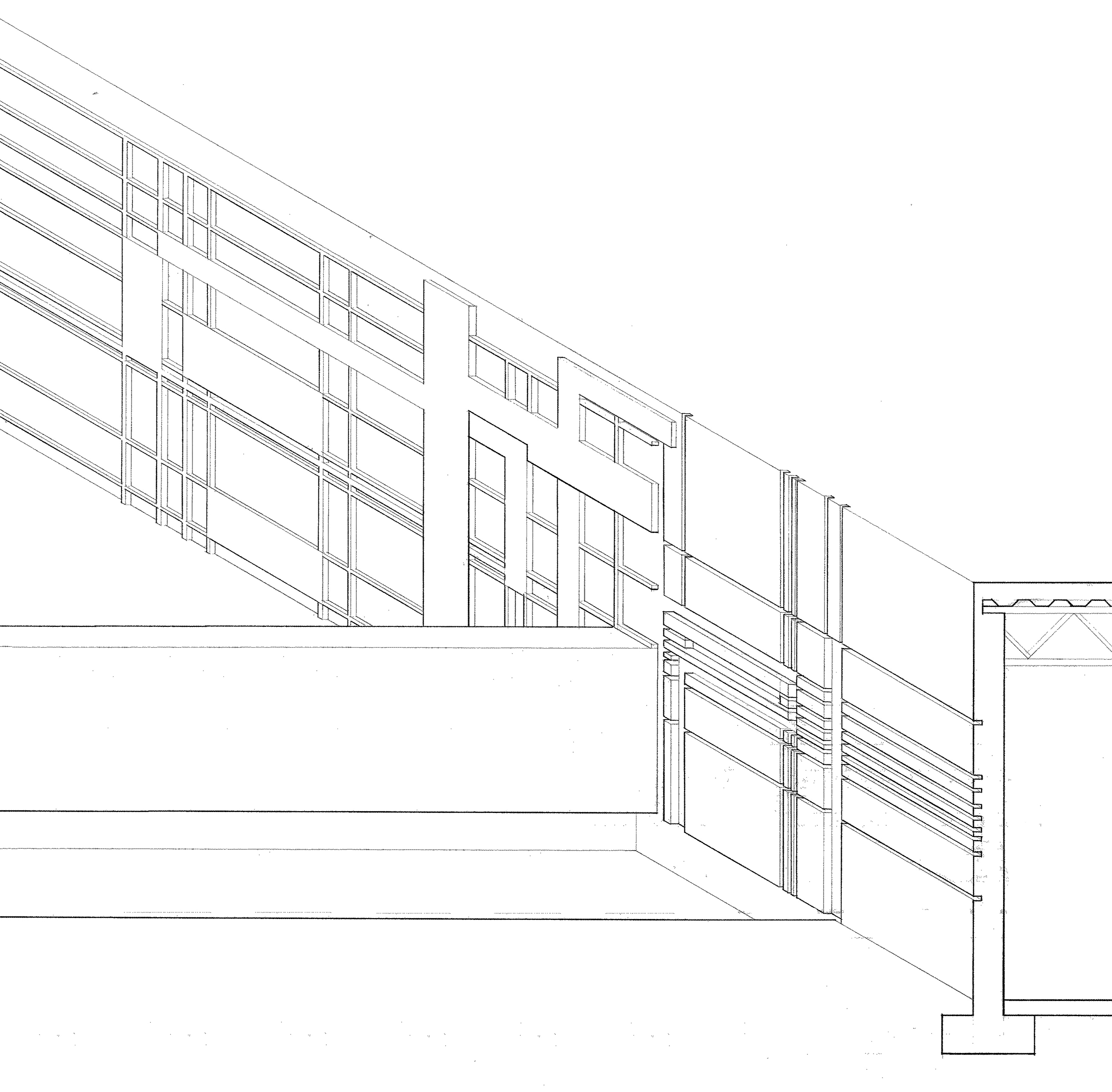
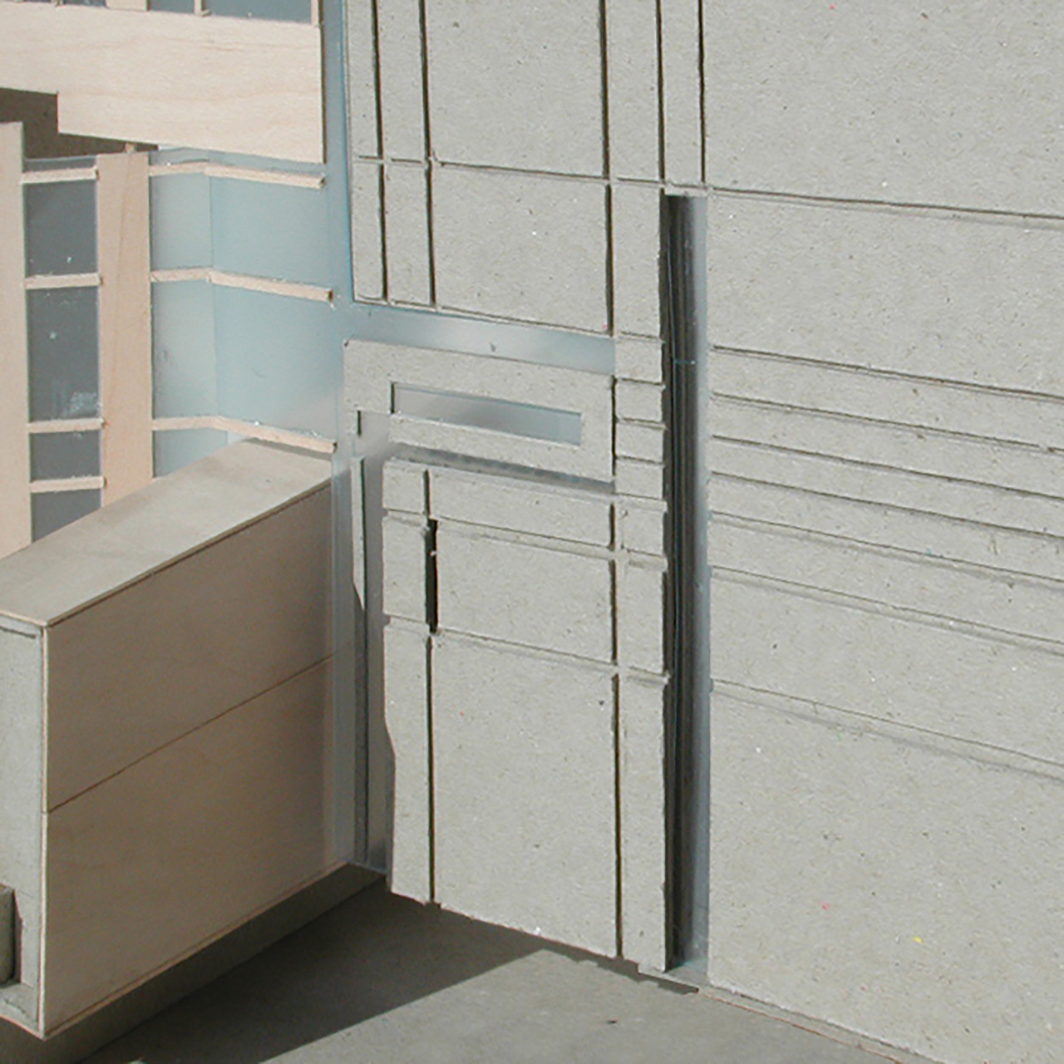
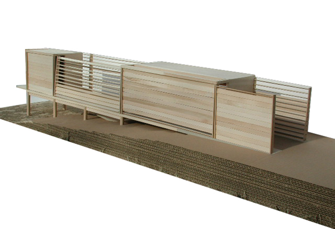
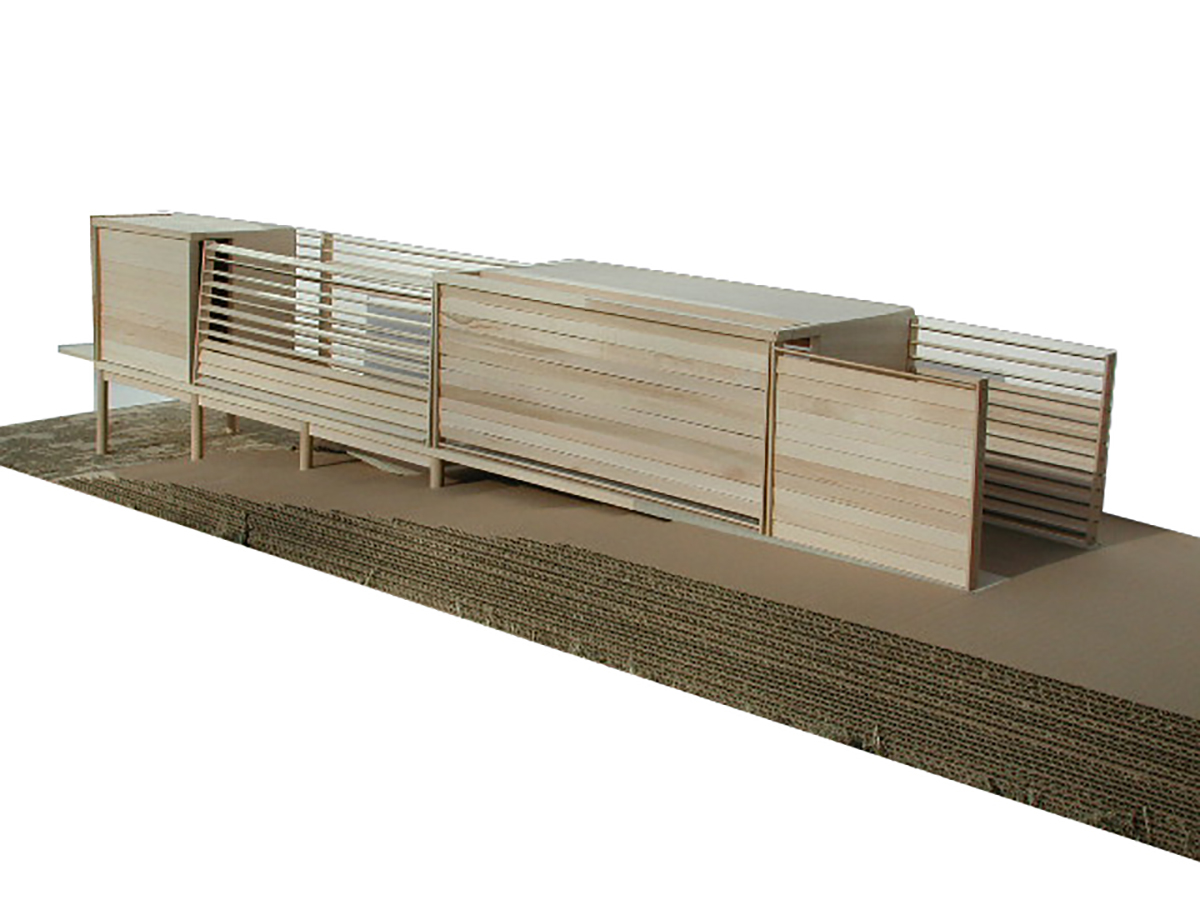
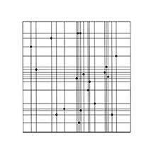
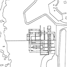
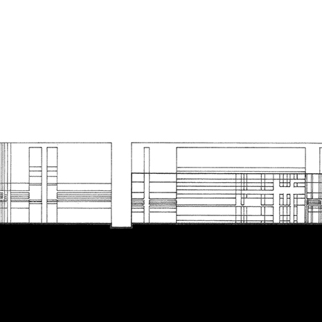
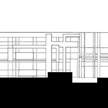
The narrow strip of land on the Sullivan Island, SC, overlooking the Atlaocean exemplifies the fragile nature of the landscape in east US and its annual exposure to the weather elements during the summer hurricane season. The design for the meteorological center exemplifies this fragility by focusing on the detail of the architecture of the project and the ways this detail is carried out through out the project at various scales. A Scarpa-esque sensitivity in the articulation of the details is worked throughout the project from its overall parti and the dimensionless grid of the constellation above to the ways this scheme is carried throughout the project in the articulation of the site strategy, the programmatic distribution of the program and the landscape features to the articulation of detail in wall-making and the apetures of the center. The community classroom of the meteorological center is situated remotely in a pier fomation at the waterfront. |
|
|
|